Next to a drain in Venn Lane is a marker stone with the inscription “Stonehouse Leat and Banks 1593”. It was in fact installed during the 19th century when the Stonehouse Leat was upgraded to serve the growing population of East Stonehouse. A similar stone can be seen by the park entrance on Peverell Park Road. They were to denote ownership and responsibility for the water course, particularly near the town boundaries; https://www.plymouth.gov.uk/sites/default/files/EastStonehouseLeatStoneInfo
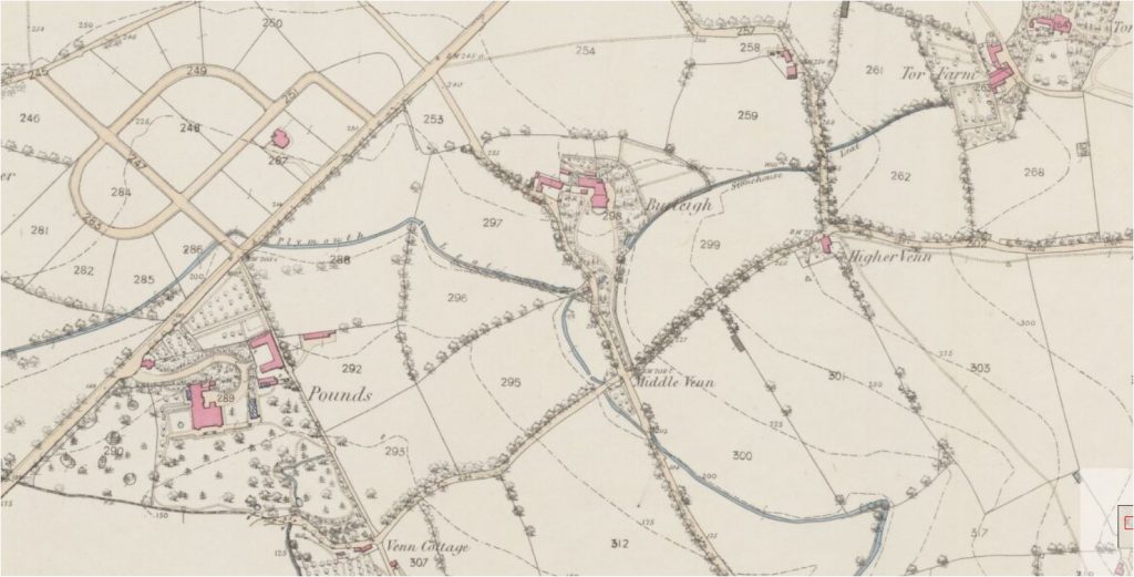
Stonehouse Leat was constructed between 1593 and 1595 – soon after the Plymouth Leat or Drake’s Leat completed in 1591. It brought water from six springs in the Higher Peverell area to East Stonehouse in the area occupied by the Millfields Trust, where the Royal Naval Hospital was built in the 18th Century. Drake’s Leat brought water from Dartmoor to the Millbay area.
Both leats are marked on this map from 1863. By then, sections of the Stonehouse Leat had been piped or culverted including between Burleigh and the grounds of Pounds House and between Venn Lane and the newly completed reservoirs on land which was to become Central Park.