
The names of paths and how they were named are here.
When the park’s construction began in 1930, Gilbert Lane and Venn Lane already existed as a farm track and an ancient thoroughfare respectively. The map survey of 1914 also shows a path along the southern part of the Valley which appears to end near the former quarry below Glendower Road and may have been unsurfaced before its incorporation into the park.
Newly made with the park’s construction were Coronation Avenue, Jubilee Row, Britannia Way and Discovery Way (between Gilbert Lane and Eddystone Walk). These paths remain as testimony to Mawson’s ability as a landscape designer because they are gently graded and provide direct connections through the park with long views to the city and the sea. All of Mawson’s spine paths have distinctive gutters made from three rows of granite setts.

The Valley path was completed between 1933 and 1939, together with the three paths linking it with Jubilee Row. Also completed between 1933 and 1939 were the long straight path leading south from Pounds House (Blossom Path) and its two connecting paths to Coronation Avenue (The Loop).

The southern part of The Loop departed from Mawson’s intended route, being closer to the reservoir walls and joining Coronation Avenue about 25 metres further east than planned. The reason for this deviation was probably to avoid soft ground at Barn Park although it has resulted in a confusing path junction and a route that leads away from natural desire lines. The northern part of The Loop was realigned in 1975 to make space for Argyle’s training pitches and its connection with Coronation Avenue is similarly confusing.
Eddystone Walk and Rooks Hill are shown on the map survey of 1933 although the western section of Eddystone Walk was probably destroyed during the war as the Western Evening Herald reported in 1949:
“Work is in hand on the construction of a path from a point mid-way along Alma Road, leading into the park. This will connect with the path leading from the valley at Barn Park, which at present terminates at the main north to south drive. The present project, which entails laying 300 to 400 yards of pathway will complete a path traversing the width of the park as envisaged in the Mawson Plan.”
In c1949, Discovery Way was extended at its southern end with a sweeping curve to meet Alma Road whereas Mawson had envisaged it leading through 4 acres of botanic gardens above Holdsworth Street and Wake Street. Until the southern extension was made, access to Pennycomequick was either via Eddystone Walk or a grass path leading to the rear of Upper Knollys Terrace, as this photo from the late 1930s shows. Endeavour Hill had still to be made.

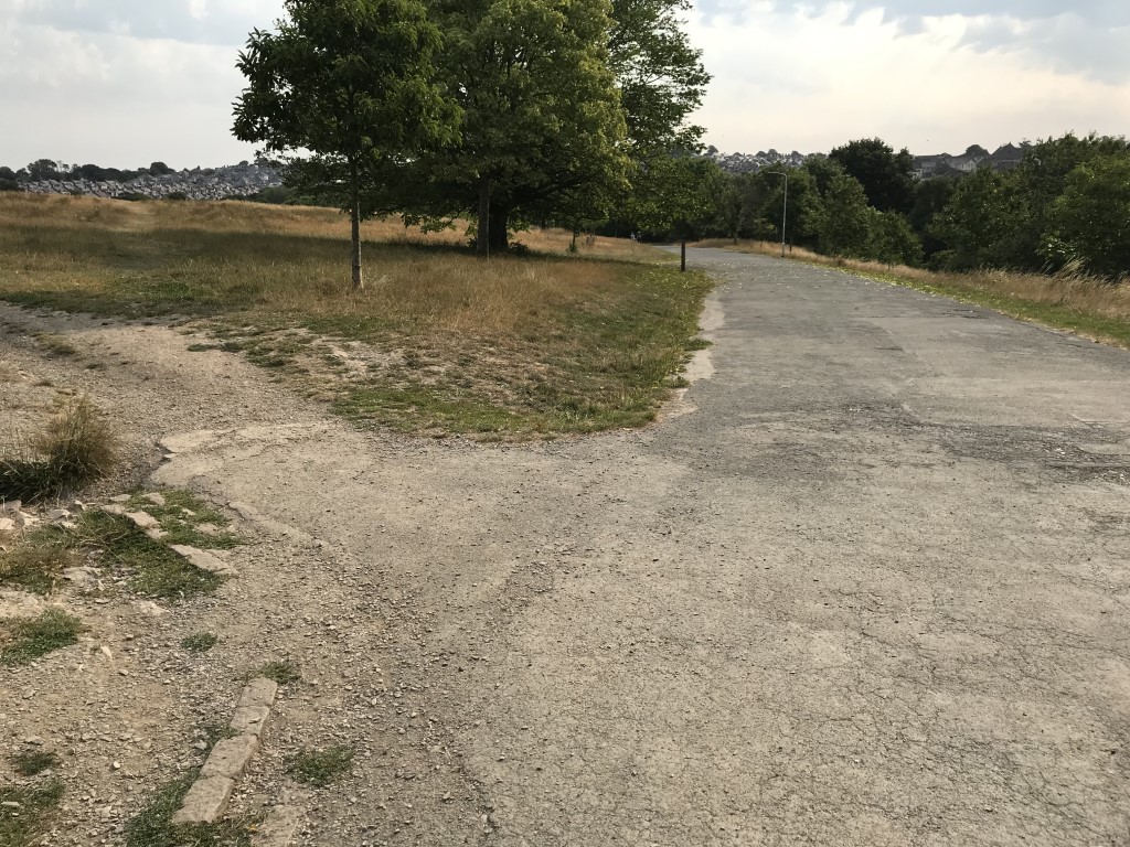
The path along the western edge of Zoo Field, originally planned in 1928, was finally made in 2001 as a planning condition to provide an emergency vehicle access route to Home Park football stadium. Other planned routes from 1928 remain missing, most notably those that would have linked Jubilee Row with Gilbert Lane and Coronation Avenue. The splays for them can still be seen along Jubilee Row and Coronation Avenue.
Every study and plan has identified a need to improve access through the park with new footpaths being recommended, particularly in the northern part of the park.
In 2015, Orchard Path was made to link Holdsworth Street with the Ford Park entrance and in 2019 the Valley Path was widened to 3 metres because of increasing numbers of pedestrians and cyclists. In spite of these improvements however, Central Park’s network of paths is still regarded as incomplete .